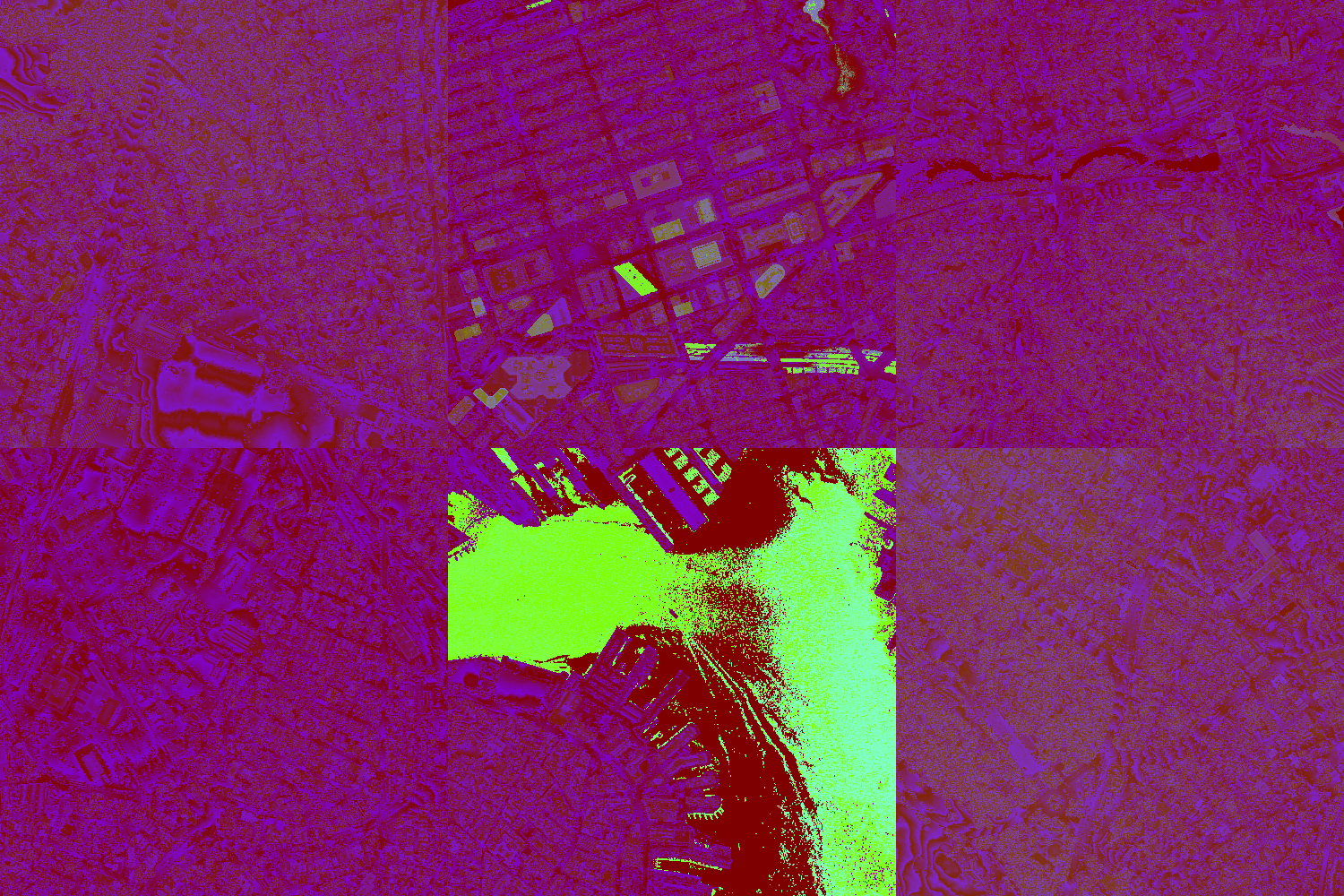
A prototype that explores augmenting data onto physical images by rendering LIDAR tiles with Unity ECS/DOTS and visualized using Vuforia Image Tracking.
Understanding the scale behind a 2D drawing is a common issue most people have when they look at a map. Typically a map gives a viewer a top-down perspective to a space, which shows all the 3D stuff of a space to a limited 2D display. This probably helps with reading through these drawings quickly or with seeing a space holistically, but it's likely also the cause for the struggle with seeing things three-dimensionally.
The approach to this project was to help people through that visual struggle by augmenting spatial heightmap data onto it's related city map. Using simple shapes and textures can display the general form and spatial qualities of a city similarly to this sketch by Ken Goulding. To keep the simplicity of a map, the heightmap data that was sourced through LIDAR tiles was visualized to look similarly to a pin toy.
- Currently this project is built with Vuforia and targets ARCore as it's main AR library
- The images used to anchor the LIDAR tiles was created and styled with MapBox
- Developed in Unity with ECS / DOTS
- LIDAR tile set data sourced
Ken Goulding, Eric Youngberg, David Morgan
This prototype was apart of larger social project by MakeTank called City Print, which was focused rebuilding the standard .3dm file of Boston by crowd sourced support.


